Canada population density gap: 0.32 percent in territories
"The vastness of the Canadian landscape presents a striking contrast between its immense territory and the concentrated clusters of human life that define its social fabric."
Canada's population distribution is characterized by a massive imbalance between vast, sparsely populated northern regions and highly concentrated urbanized provinces.
This report analyzes the Canada population density gap by examining how a few provinces hold the majority of the people while the territories occupy vast landmasses with minimal residents.
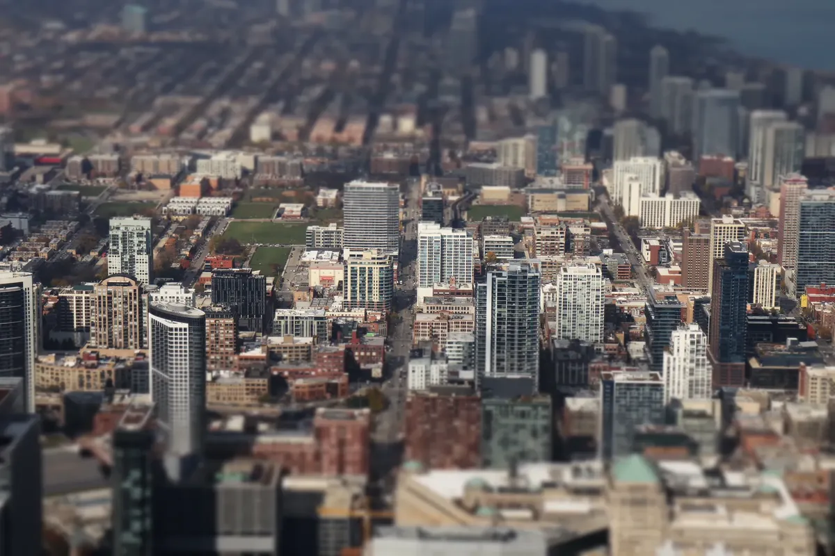
Key takeaways include the heavy concentration of people in four provinces, the extreme low density in the North, and the historical growth trends across different regions.
How does the Canada population density gap manifest geographically?
A traveler looking out over the wide, empty stretches of the northern wilderness might find it difficult to grasp the actual weight of the nation's inhabitants. While the land seems endless, the human presence is often localized to specific corridors.
The territories, including the Northwest Territories, Nunavut, and Yukon, account for over a third of Canada's total area. However, these regions are home to only 0.32 percent of the population, which skews the national population density value.
This significant geographic disparity means that the national average does not reflect the lived reality of most citizens.
The concentration of people creates a unique dynamic where most of the country remains undeveloped. This allows for a massive Canada population density gap between the urban centers and the vast wilderness. This imbalance is a defining characteristic of the nation's physical and social geography.
Which provinces house the majority of the population?
While walking through a bustling downtown street at noon, the traveler felt the heat of the crowd and wondered how so much life could fit into just a small slice of Canada.
Walking through a crowded street in a major metropolitan hub reveals a much different reality than the quiet northern landscapes. Most people live within a relatively small portion of the total land area.
The four largest provinces by area—Ontario, Quebec, British Columbia, and Alberta—are also the most populous. Together, these provinces account for 86.5 percent of the country's population.
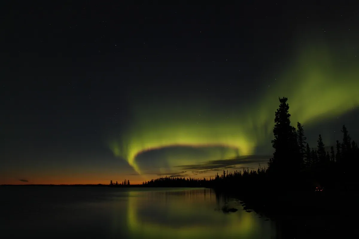
This concentration highlights how the majority of the nation's resources and people are centered in specific regions.
This regional distribution shapes the national economy and infrastructure requirements. The Quebec population distribution and Ontario population density reflect this heavy leaning toward the east and west coasts. It remains a central factor in national planning and resource allocation.
According to International Monetary Fund, the 2026 record includes 41.4 million.
How has the population changed over time?
Looking through old census records provides a window into how the nation has expanded and shifted since the early 20th century. The numbers show both steady growth and significant regional shifts.
According to World Bank data, Canada recorded a total population of 41,651,653 in 2025. Between the 2016 and 2021 censuses, Canada's population grew by 5.24 percent. These figures illustrate a growing nation that continues to expand despite its geographic challenges.
Historically, the demographic weight of certain areas has fluctuated. For example, the West's importance increased from insignificant levels in 1871 to over 30 percent of the country in 2016.
This movement shows how the Canada regional density has shifted from the historical core toward the western provinces.
What are the fastest-growing regions?
A researcher examining the latest growth statistics might notice that certain remote areas are experiencing sudden surges in residency. These shifts can change the local character of a territory quite quickly.
In terms of percent change, the fastest-growing province or territory was Yukon, which saw an increase of 12.1 percent between 2016 and 2021. This was followed by Prince Edward Island with 7.99 percent growth. These rates show that even smaller regions can experience rapid demographic shifts.
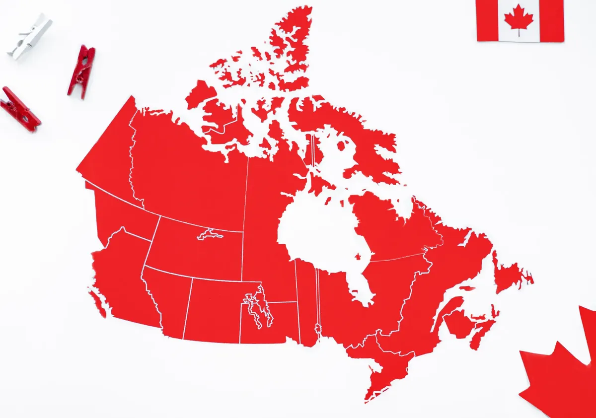
Such growth in the north highlights the changing nature of the Territory population spread. While the total percentage of people in the north remains low, the rate of change can be quite high. This creates unique administrative and social challenges for these expanding communities.
How do historical trends compare to modern density?
An archivist comparing modern maps to historical documents can see how the concept of a "populated" area has evolved. The scale of the country makes these comparisons particularly stark.
| Category | Percentage/Value |
|---|---|
| Four Largest Provinces Population Share | 86.5% |
| Territories Population Share | 0.32% |
I noticed that while the North holds immense space, the sheer number of people in the provinces dominates every national statistic. The disparity is visually and statistically overwhelming.
The demographic weight of the Atlantic provinces also changed significantly over time. They lost importance within Canada, dropping from around 20 percent at the time of Confederation to under 7 percent today. This shift is part of a broader trend of movement toward more populous provinces.
How can we understand the current demographic balance?
An economist studying the distribution of labor and services must account for the fact that most people are not spread evenly across the map. The imbalance dictates where schools, hospitals, and roads are built.
The current state of the country is a mix of high-density urban living and vast, empty expanses. The primary driver is the concentration of 86.5 percent of the population in just four provinces. This reality necessitates different approaches to governance for the urban south and the rural north.
The demographic weight of Ontario and Quebec was historically higher, once exceeding 80 percent at Confederation. This concentration has since moderated, though they remain central to the nation's identity. Understanding these shifts is vital for grasping the current national landscape.
- How does the Canada population density gap manifest geographically?
- Which provinces house the majority of the population?
- How has the population changed over time?
This part also covers Urban vs rural Canada density.
This part also covers Provincial population imbalance.
This part also covers Canada land use and people.
Urban vs rural Canada density
Related








Comments 0